...but it was on purpose. You see, I was driving from Wilmington, DE to Shelbyville, IN and wanted to avoid the Pennsylvania Turnpike. Qualcomm says to take I68 across Maryland to US40, up through southern Pennsylvania to I70 and then across.
In the past, I always assumed that the Qualcomm routing is on crack because US40 looks on the map like a little 2 lane highway going through some pain in the ass Pennsylvania mountains and would just proceed on to I79 and go up to I70 from there.
This day, I had a little time to spare and was feeling adventurous and decided to see what US40 was all about.
In reality, US40 is a little 2 lane highway going through some pain in the ass Pennsylvania mountains. In short, my reasons for avoiding the route were well-founded. Now, to be fair, US40 is a far cry from the worst roads I've driven on, but it is still a time waster. The terrain dictates slow speed through a lot of it.
Here are some photographic highlights of the route:
9% downgrades are always fun!
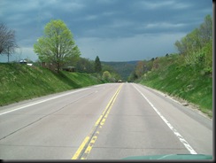
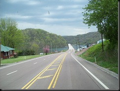
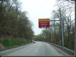
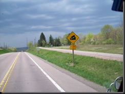
Woohoo! "Dangerous Mountain"! Could they have been just a little less specific? 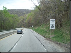
10mph truck speed on this downhill. Yes, it was steep and curvy. 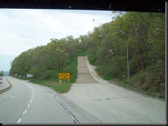
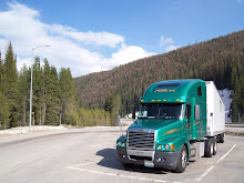
If your driving day didn't end in one of these, then your day didn't go so badly after all!
1 comments:
Where exactly were the dangerous mountain signs? I'm trying to find it on google maps.
Post a Comment